ProSurveyGet a quote
Services / Movement & floor flatness survey

Movement monitoring and floor flatness surveys

We measure floors, slabs, walls and structures to show flatness, plumbness, movement over time or compare it to the design. You get colour-coded deviation maps and clear reports, all for one fixed fee.

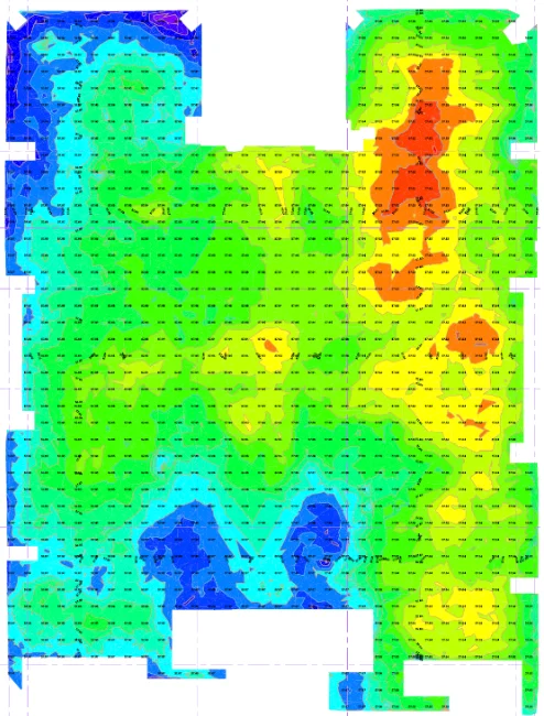
Floor flatness deviation map
01 / 07
FlatnessFloor flatness deviation map
What we capture

We use precise 3D laser scanning and 360° imagery to record the shape and condition of floors, slabs, driveways, retaining walls, structures and objects.

We analyze the scan data to assess floor flatness, identify deformation and measure movement between repeat surveys.

Colour-coded floor flatness deviation map of a slab

Floor flatness

A floor or slab flatness survey is a one-off check of how flat and level a floor is. We 3D laser scan the slab and produce a colour-coded deviation map showing high and low spots, levels and contours, so you can see where it falls outside the design or specified tolerance.

Used for: checking new slabs before floor finishes go down, preparing for racking or machinery installation, and investigating uneven floors.
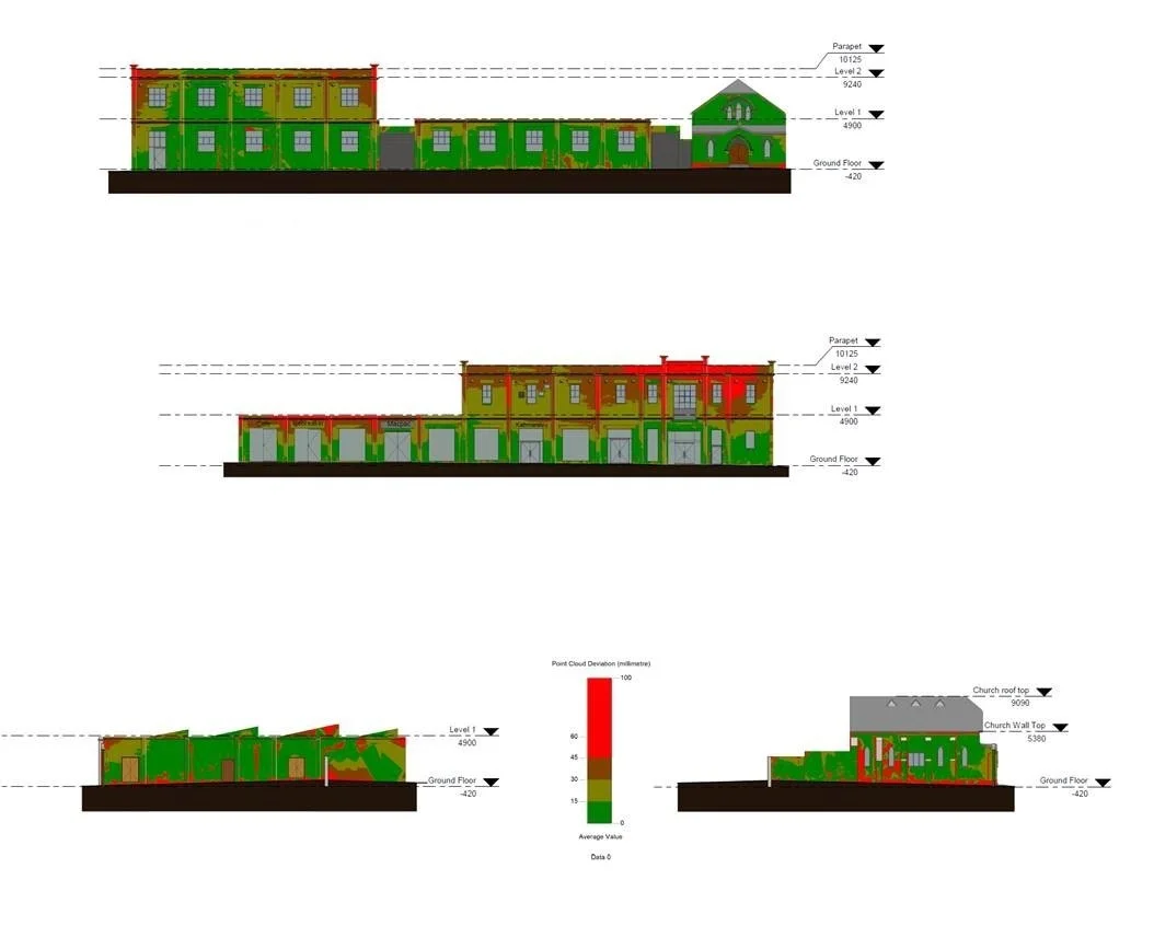
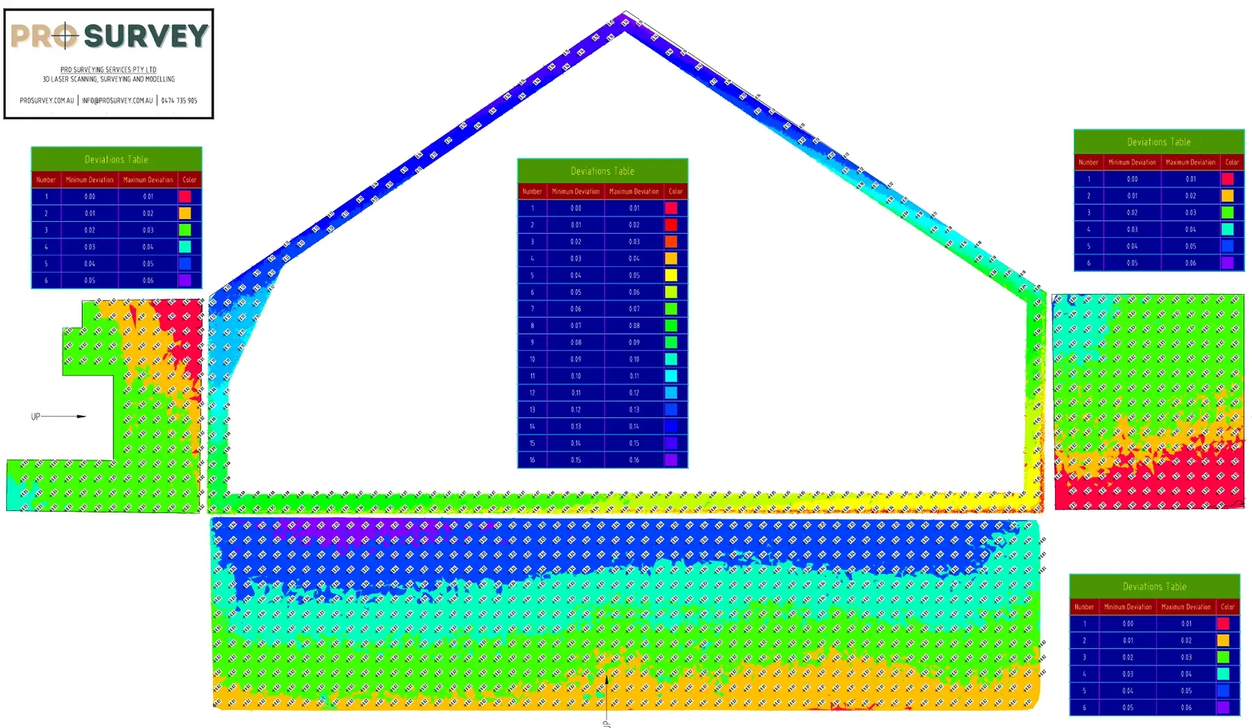
Colour-coded wall verticality deviation map

Wall verticality

A wall verticality or deviation survey measures how far a wall leans, bows or departs from vertical or its designed slope. We 3D laser scan the wall and produce a colour-coded deviation map showing where it's out and by how much.

Used for: retaining walls, building walls and other structures, such as checking new work before handover or investigating cracking and leaning.

Movement map comparing repeat 3D scans

Movement monitoring

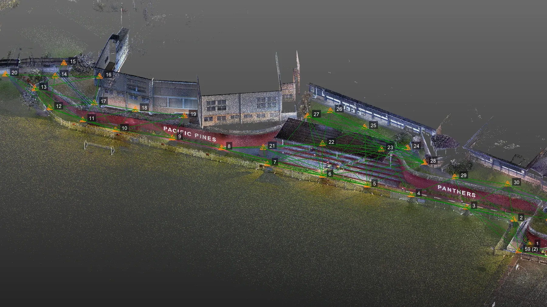
Movement monitoring repeats the survey over time. We scan from the same fixed survey control points on every visit and compare the results to show settlement, sagging or movement.

Used for: buildings next to excavation or construction works, retaining walls, pools, water tanks and steel structures.

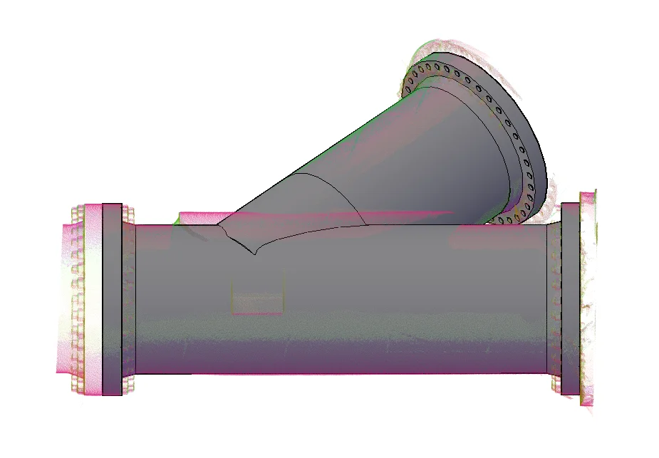
Colour-coded comparison of a pipe spool scan against its design model

Design vs as-built comparison

We compare the 3D scan with your design model to show where the as-built work differs from the design. A colour-coded deviation map shows each discrepancy and its size.

Used for: checking construction progress, verifying work before handover, and confirming existing conditions before fabrication or installation.

What you get

One fixed fee. These files in your inbox.

.pdf .dwg
Deviation map

Colour-coded drawing showing how far each area is from level, plumb or the design.

.pdf .dwg
Movement report

Colour-coded map showing change from the last visit.

.exe
Measurable 360° walkthrough

Walk the site and take measurements straight from the 360° photos. One file, nothing to install.

How the walkthrough works →
.e57 .rcp
Point cloud

The registered 3D laser scan of every surface we checked, for teams with point cloud software.

Need a structure survey instead? See Structure & object survey→
Questions

Movement & floor flatness survey FAQ.

A floor or slab flatness survey measures how flat and/or level a floor is. We 3D laser scan the slab and produce a colour-coded deviation map showing high and low spots, so you can see where it doesn't meet the design or construction standard.

Common reasons include checking a new slab before floor finishes go down, preparing for racking or machinery installation, investigating uneven floors, and confirming a builder's work before handover.

Movement monitoring repeats the survey over time. We scan from the same fixed survey control points on each visit and compare the results to show settlement, sagging or movement.

Buildings, retaining walls, pools, water tanks, steel structures, and buildings next to excavation or construction works.

That depends on what you're monitoring and why. We agree the number of visits and their timing with you or your engineer, for example before, during and after nearby works.

For a one-off check, a colour-coded deviation map in PDF. For monitoring, a movement report with maps and tables showing change since the first visit. Every survey also includes a measurable 360° walkthrough and the point cloud.

Yes. The same scan shows where walls lean or bow, with colour-coded deviation maps for each wall.

Yes. We compare the scan with your design model and map where the built work differs.

Accuracy depends on site conditions and survey setup. We confirm the expected accuracy in your quote, so you know the results meet your project's needs.

It depends on the floor area, site access and, for monitoring, how many visits you need. Send us the site address, the area to check and what you need to know, and we'll provide a fixed-fee quote.

Good for

Where clients use it.

  • Leaning or cracking of retaining walls
  • Water ponding on slabs
  • Cracking of driveways
  • Excavation next door
  • Builder handover checks
  • Checking work against the design
Projects

Recent movement & flatness projects.

Get a quote

Send us your project brief.

Tell us about the project, the address, the area to survey and what your team needs. Attach your RFQ or a marked-up plan.

Based in Brisbane, working across Brisbane, the Sunshine Coast and Gold Coast.

0474 735 905
info@prosurvey.com.au
Step 1 of 4 · The project
What kind of survey?
Pick a survey type, add the address and tell us about the project