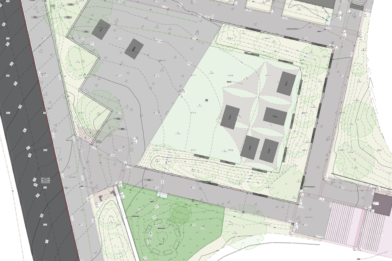
Detail and contour survey
Our Detail and Contour Survey (sometimes called a Topographic Survey, Site Survey or simply Detail Survey) services provide precise and comprehensive data for your project.
Using advanced 3D laser scanning technology, we capture accurate measurements of the land's features and contours. This includes natural features like topography, slopes, vegetation as well as man-made structures like buildings, roads, and utilities. The contour data highlights elevation changes and the shape of the land, providing a detailed topographic map that is essential for planning, design, and construction.
With our commitment to precision and quality, you can trust that our surveys will provide the reliable data you need for successful project execution.