Underground Utility Survey
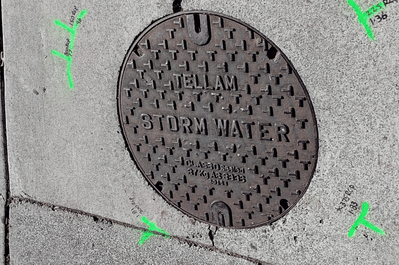
Our Underground Utility Survey services provide detailed and accurate mapping of underground utilities. We use a combination of traditional methods, such as lifting pits to measure invert levels, diameters, and materials, along with advanced techniques like electromagnetic induction (EMF) and ground-penetrating radar (GPR). This data is essential for planning, design, and construction, ensuring that your project avoids costly and dangerous utility strikes.
Our surveys include detailed maps and reports, highlighting the location, depth, and type of underground utilities.