Infrastructure Survey
Our infrastructure surveying services provide detailed and accurate measurements for various infrastructure projects.
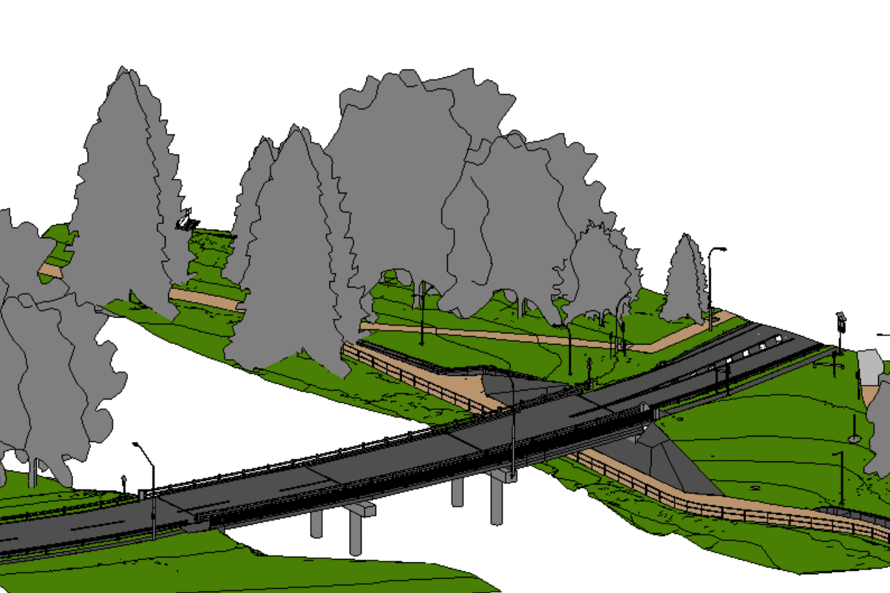
Using advanced 3D laser scanning technology, we capture precise measurements and create comprehensive digital models of infrastructure elements such as roads, bridges, tunnels, and utilities. This data is essential for planning, design, and maintenance, ensuring that your infrastructure projects are executed with precision and efficiency.
Our surveys include detailed topographic maps, 3D models of structural elements, and utility mapping, highlighting critical features and potential issues.
With our commitment to precision and quality, you can trust that our surveys will provide the reliable data you need for successful infrastructure project execution.